
CCC's Definitive Map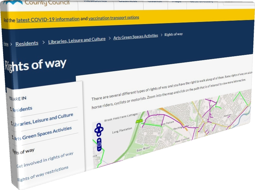
Go to: Footpaths
The usual procedure to register a new pathway is for Cambridgeshire County Council to complete a Public Path Order (PPO) or Definitive Map Modification Order (DMMO).
The data available is made available via Google Maps. The Council’s Rights of Way Map is updated every few months: ⇒
The Council also notifies the Ordnance Survey (OS) but there is no set timescale for the OS to update their printed or online maps.
However, where there are sizeable infrastructure developments leading to significant changes in the geography of an area, the process can follow a different timetable.
In these cases, the effect on the Public Rights of Way Network is publicly available. The OS becomes aware of the potential changes and tends to survey physical path constructions much quicker than would ordinary be expected. This may mean that the OS publishes updates to their maps much sooner than normal, regardless of whether the associated legal processes have been completed.
This has been the case with the recent A14 improvement scheme. Due to the scale of the project, the advance publicity and available plans, the OS has been able to get involved at an early stage.
The legal processes that the County Council are required to follow to amend the Definitive Map and Statement are often long and drawn-out. Their own online mapping may remain unchanged for some time after the roadworks and pathworks have been completed.